Wuhan Story Map
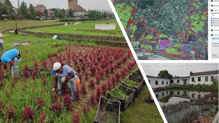
Wuhan is a city of around 11 million in central China. Surrounding the urban center is a rich and diverse landscape of lakes, forest and different types of dry and wetland agriculture. In recent years, the Chinese government has attached great importance to environmental protection and food safety and in response, the municipal and local district governments have begun to shift land-use development plans away from industrialisation towards a greater focus on green infrastructures.
In Wuhan, we look at four examples of peri-urban land-use change that represent different strategies for the management of peri-urban green infrastructure. We examine how these strategies and the broader patterns of urbanisation are impacting the livelihoods and wellbeing of different groups. View on arcgis